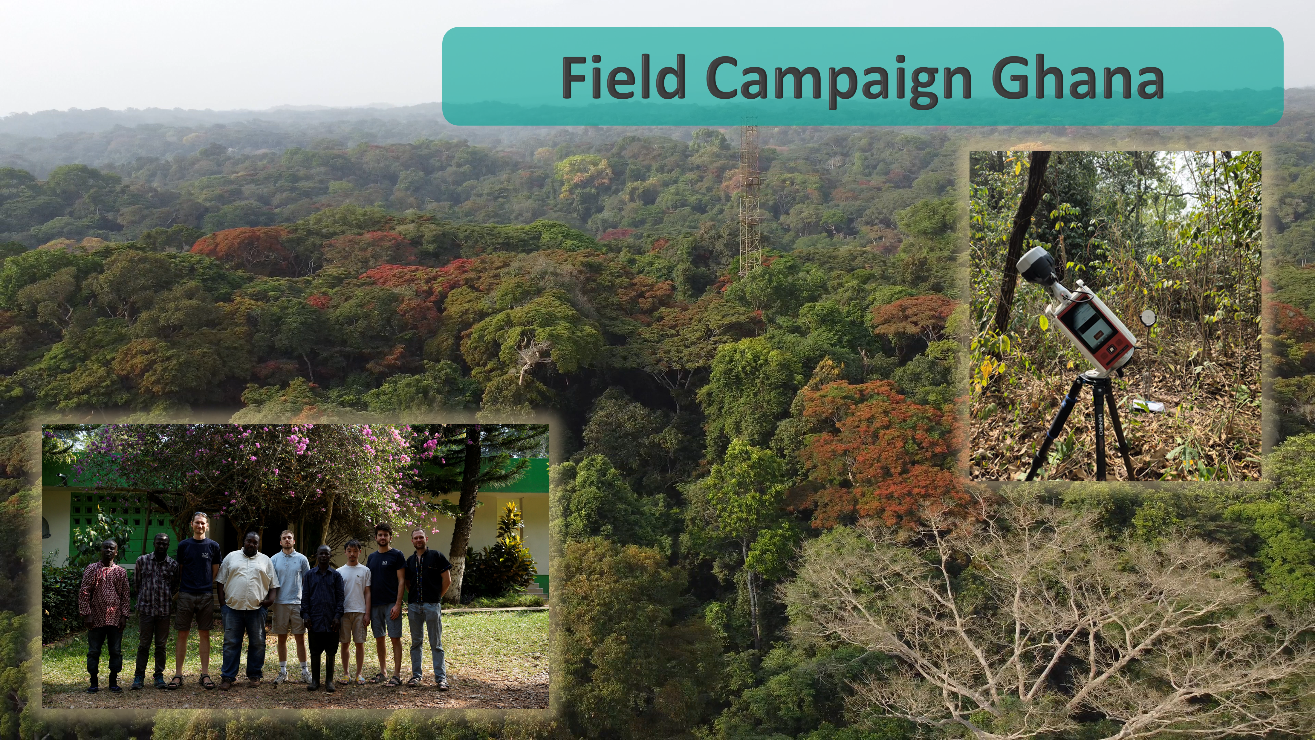
The DE:CalVal team has successfully completed its first dedicated field campaign in Ghana, marking an important milestone in building the high-quality reference datasets needed to support the European Space Agency's BIOMASS mission.
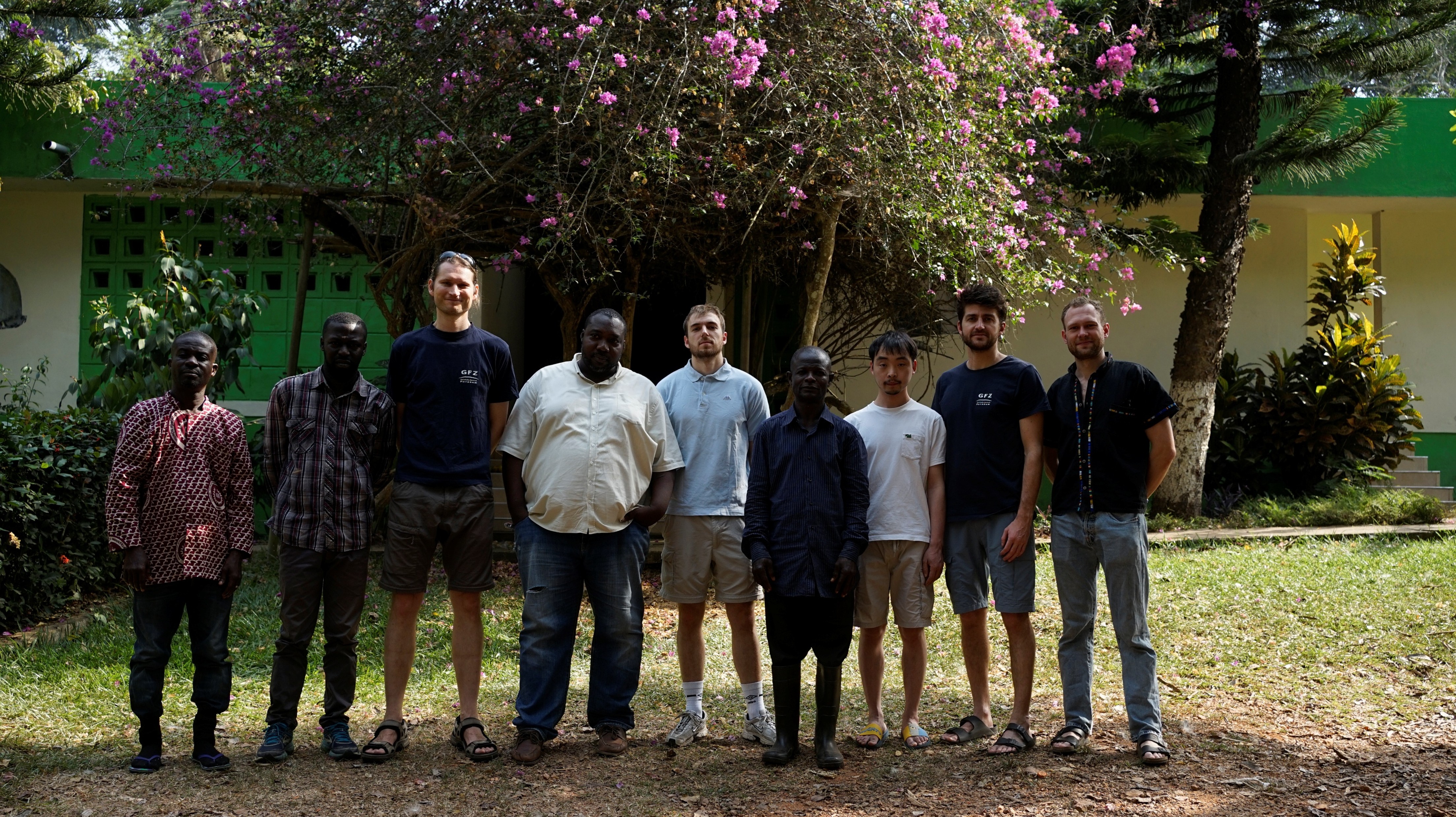
Over a three-week campaign from 13. January to 6. February 2026, researchers from the German Research Centre for Geosciences (GFZ) worked together with colleagues from the Forestry Research Institute of Ghana (FORIG) to collect detailed forest structural data in dense tropical rainforests.
Capturing forests in remarkable detail
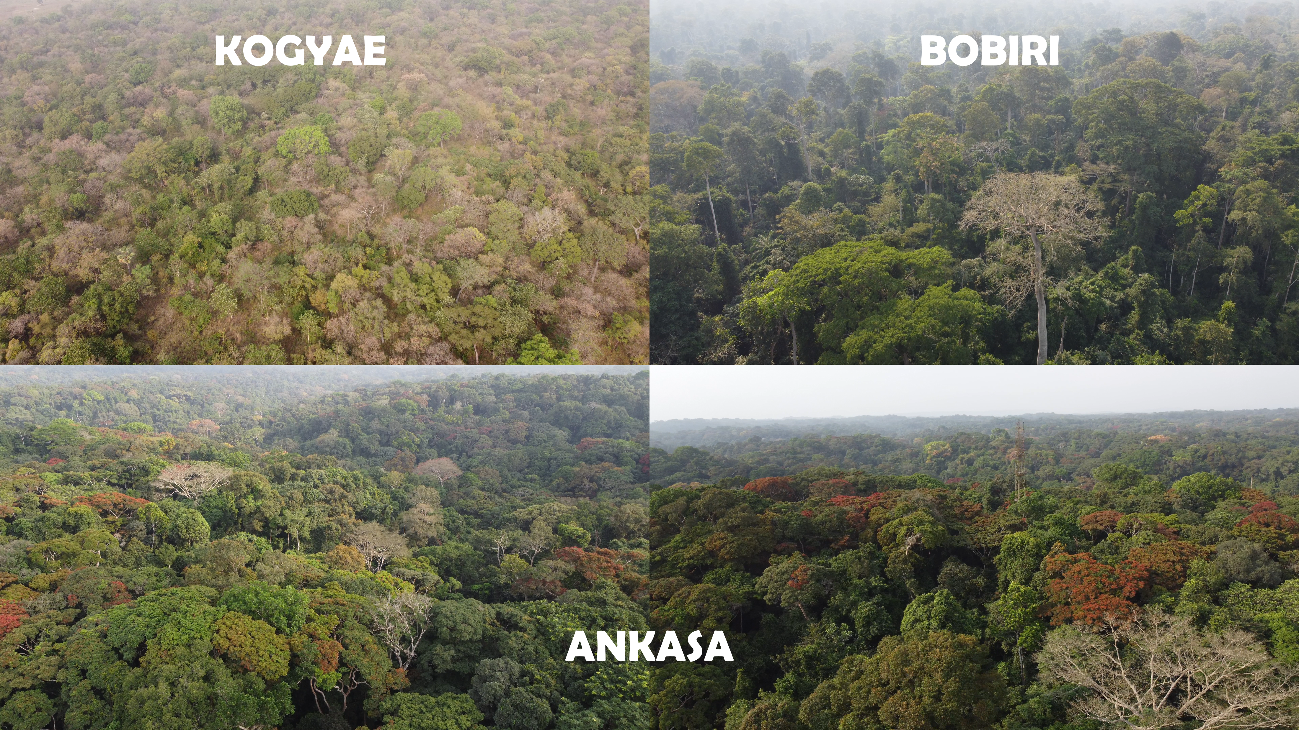
The campaign focused on seven permanent one-hectare forest plots located in three key regions:
Kogyae: 3 one-hectare plots
Bobiri: 2 one-hectare plots
Ankasa: 2 one-hectare plots
Together, these sites represent a diverse range of tropical forest conditions and provide an ideal benchmark for validating satellite observations.
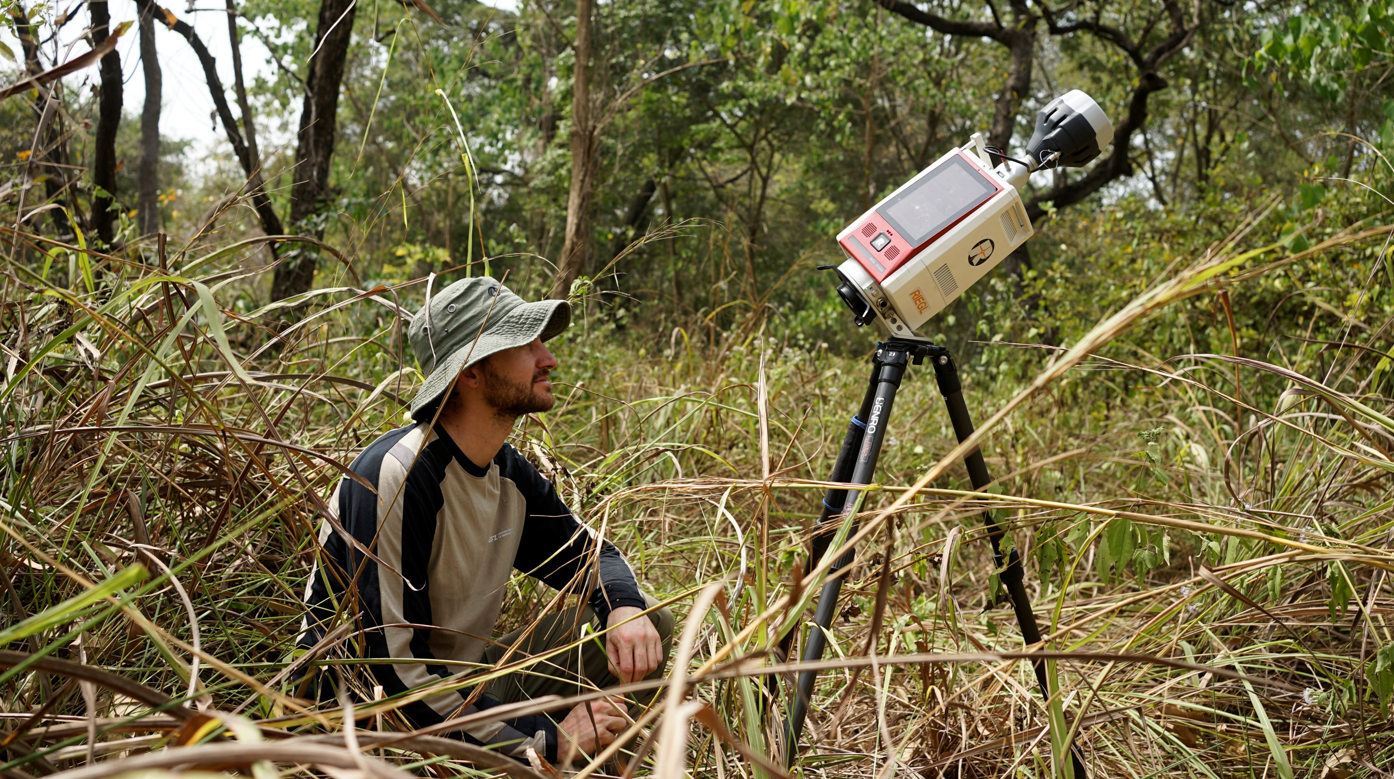
To document the forest structure, the team deployed two state-of-the-art terrestrial laser scanners (TLS) — the RIEGL VZ-400i and RIEGL VZ-600i — allowing two plots to be surveyed simultaneously. Each hectare required up to 121 individual scan positions, arranged in a connected grid to minimise occlusion and ensure a highly detailed three-dimensional reconstruction of the forest. Depending on vegetation density and terrain, scanning a single hectare took between three and six days.
The campaign also employed survey-grade GNSS receivers, providing centimeter-level positioning accuracy and ensuring that every scan can be precisely linked to satellite and airborne observations.
Building on a valuable long-term record
Many of the selected plots have an extensive measurement history. Previous TLS campaigns were conducted in 2016 and 2023, while recent tree inventory measurements provide valuable ground observations such as tree diameter and species information.
By combining these complementary datasets, researchers can assess the accuracy of structural metrics derived from terrestrial laser scanning — including tree diameter, canopy structure and biomass—and further improve methods for estimating forest carbon stocks.
Supporting the BIOMASS mission
The Ghana campaign is part of the DE:CalVal's effort to assemble the comprehensive reference datasets that underpin many subsequent project activities. These carefully collected field observations contribute to GeoTrees and provide the essential "ground truth" needed to validate the forest structure and above-ground biomass products generated by ESA's BIOMASS satellite.
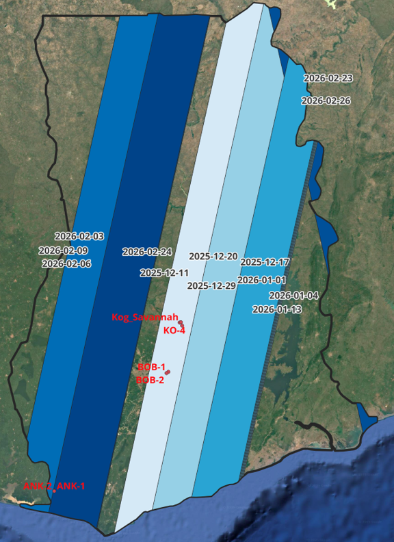
Observation sites in Ghana from the field campaign 2026 and projected BIOMASS acquisition.
The successful completion of this first campaign represents an important step towards improving our ability to monitor the world's forests and their role in the global carbon cycle. The DE:CalVal team thanks all partners — especially the colleagues at FORIG — for their invaluable collaboration and looks forward to the next field campaigns.